![BCIT Programs Forestry Technology ; measuring equipment and a map [2 of 2]](/uploads/r/null/f/6/2/f62f88833e712587154b820fcea66793d68932913359a5b897b2b94eaf6f225f/a003080_142.jpg)
BCIT Programs Forestry Technology ; measuring equipment and a map [2 of 2]
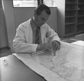
BCIT Programs Forestry Technology ; man measuring distance on a map using a ruler
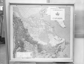
Map of Canada
![Navigation, 1968; five men standing at a table examining a navigation chart [1 of 3]](/uploads/r/null/8/5/2/852ed62941c0c1f11d3b983f502272b3b510a278931d5896da0c869de2e55e8b/a004369_142.jpg)
Navigation, 1968; five men standing at a table examining a navigation chart [1 of 3]
![Navigation, 1968; five men standing at a table examining a navigation chart [2 of 3]](/uploads/r/null/1/0/1/10182deb179889e76920e1c2749ea37f7be4cb511535b7b0616ec0ee4f62b0b9/a004370_142.jpg)
Navigation, 1968; five men standing at a table examining a navigation chart [2 of 3]
![Navigation, 1968; five men standing at a table examining a navigation chart [3 of 3]](/uploads/r/null/8/b/a/8ba9fc386cdf71826b464fa89876f24580bd7fba57a838e733d316fb60c96c64/a004371_142.jpg)
Navigation, 1968; five men standing at a table examining a navigation chart [3 of 3]
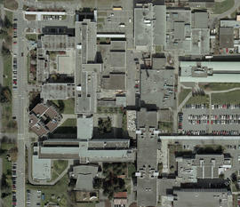
Orthophotograph of BCIT Burnaby campus SW and SE, 2004
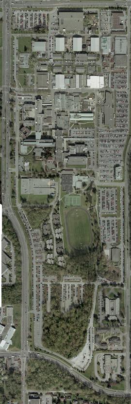
Orthophotograph of all of BCIT Burnaby campus, 2004
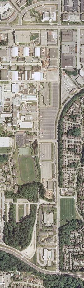
Orthophotograph of BCIT Burnaby east campus, 2004
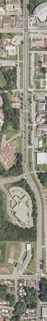
Orthophotograph of BCIT Burnaby west campus, Willingdon Avenue, 2005