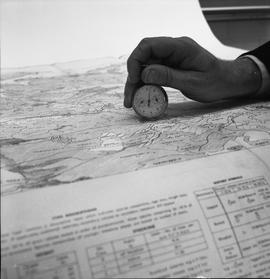
BCIT Programs Forestry Technology ; a map reader conversion tool being held on a map
![BCIT Programs Forestry Technology ; dot measuring ruler and a map [1 of 2]](/uploads/r/null/b/5/9/b596ffa6c759d7f93b569cac5006b0514f8031349695369034880523f3289206/a003061_142.jpg)
BCIT Programs Forestry Technology ; dot measuring ruler and a map [1 of 2]
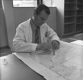
BCIT Programs Forestry Technology ; man measuring distance on a map using a ruler
BCIT Programs Forestry Technology ; map and a stereoscope
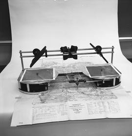
![BCIT Programs Forestry Technology ; map, areameter grid and ruler [2 of 2]](/uploads/r/null/d/a/d/dad1d1cb575a887952e6ba648a063637b7128fd33225d0d881bc0d7147538aa2/a003059_142.jpg)
BCIT Programs Forestry Technology ; map, areameter grid and ruler [2 of 2]
![BCIT Programs Forestry Technology ; measuring equipment and a map [2 of 2]](/uploads/r/null/f/6/2/f62f88833e712587154b820fcea66793d68932913359a5b897b2b94eaf6f225f/a003080_142.jpg)
BCIT Programs Forestry Technology ; measuring equipment and a map [2 of 2]
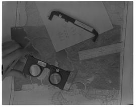
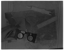
BCIT Programs Forestry Technology ; mirror stereoscope, aerial photos and map
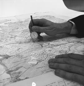
BCIT Programs Forestry Technology ; person demonstrating how to use a map reader conversion tool on a map
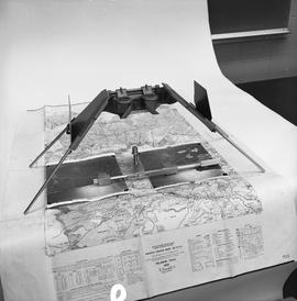
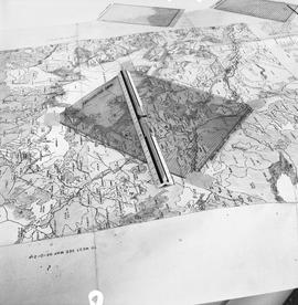
BCIT Programs Forestry Technology ; radial planimetric plotter, magnifying glass , map
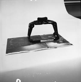
BCIT Programs Forestry Technology ; side view of map, areameter grid and ruler
Forestry Technology - 1967, map, aerial photograph
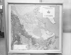
Map of Canada
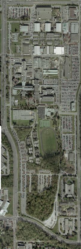
Orthophotograph of all of BCIT Burnaby campus, 2004
Orthophotograph of BCIT Burnaby campus SW and SE, 2004
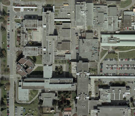
Orthophotograph of BCIT Burnaby east campus, 2004
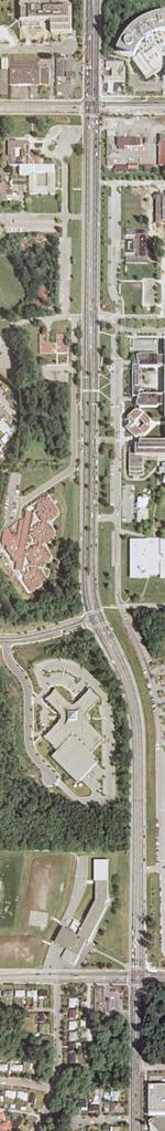
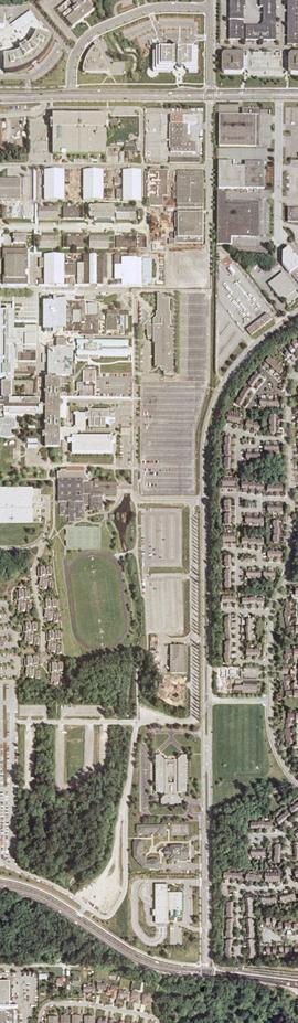
Orthophotograph of BCIT Burnaby west campus, Willingdon Avenue, 2005
School Programs; Forestry Technology - 1967, map and rulers