C11-0368
·
Item
·
1989
Part of BCIT Pamphlets collection
Maps
60 Archival description results for Maps
60 results directly related
Exclude narrower terms
C11-0366
·
Item
·
1988
Part of BCIT Pamphlets collection
C11-0362
·
Item
·
1990
Part of BCIT Pamphlets collection
C11-0590
·
Item
·
199-
Part of BCIT Pamphlets collection
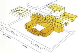
C11-0465
·
Item
·
April, 1980
Part of BCIT Pamphlets collection
![BCIT Campus map ca. 1980s [poor quality]](/uploads/r/null/c/9/e/c9e382f9db128b3893b133f63a0887cd48fc844f1e7d877ffb1429538fdc0db5/CampusMap_old__142.jpg)
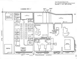
C05-003
·
Item
·
1970-12-17
Part of BCIT campus maps collection
C11-0499
·
Item
·
September, 2019
Part of BCIT Pamphlets collection
C11-0497
·
Item
·
May, 2015
Part of BCIT Pamphlets collection
C11-0627
·
Item
·
1992
Part of BCIT Pamphlets collection
C11-0573
·
Item
·
1990
Part of BCIT Pamphlets collection
C11-0524
·
Item
·
May, 1981
Part of BCIT Pamphlets collection
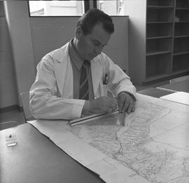
C23-a003065
·
Item
·
1971
Part of BCIT Historical photograph collection
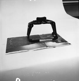
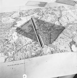
![BCIT Programs Forestry Technology ; dot measuring ruler and a map [1 of 2]](/uploads/r/null/b/5/9/b596ffa6c759d7f93b569cac5006b0514f8031349695369034880523f3289206/a003061_142.jpg)
C23-a003061
·
Item
·
1971
Part of BCIT Historical photograph collection
C23-a003092
·
Item
·
1971
Part of BCIT Historical photograph collection
C23-a003056
·
Item
·
1971
Part of BCIT Historical photograph collection
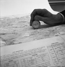
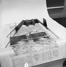
![BCIT Programs Forestry Technology ; map, areameter grid and ruler [2 of 2]](/uploads/r/null/d/a/d/dad1d1cb575a887952e6ba648a063637b7128fd33225d0d881bc0d7147538aa2/a003059_142.jpg)
C23-a003059
·
Item
·
1971
Part of BCIT Historical photograph collection
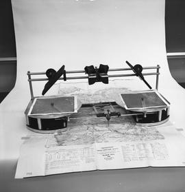
![BCIT Programs Forestry Technology ; measuring equipment and a map [2 of 2]](/uploads/r/null/f/6/2/f62f88833e712587154b820fcea66793d68932913359a5b897b2b94eaf6f225f/a003080_142.jpg)
C23-a003080
·
Item
·
1971
Part of BCIT Historical photograph collection
C23-a003068
·
Item
·
1971
Part of BCIT Historical photograph collection
C23-a003066
·
Item
·
1971
Part of BCIT Historical photograph collection
C23-a003077
·
Item
·
1971
Part of BCIT Historical photograph collection
C23-a003060
·
Item
·
1971
Part of BCIT Historical photograph collection
F01-s02-ss20-ss01-2014-12.19
·
Item
·
1984-09-14
Part of British Columbia Institute of Technology fonds
C11-0426
·
Item
·
2001
Part of BCIT Pamphlets collection